
Alfred Wainwright
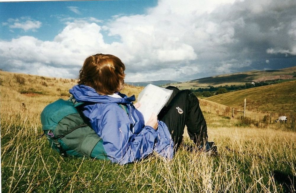
Before we cross the Lake District I must pay tribute to the man who made it all feasible.
Alfred Wainwright wrote seven pictorial guides illustrating most routes up most mountains in the Lake District. They were published in the original format and became THE guides to the Lakeland fells. People setting out for a day’s walking in the hills would as often as not be carrying a copy of one of his little books.
He devised a coast to coast walk from St Bees to Robin Hood’s Bay in the early 1970s, which he considered to be far superior to the Pennine Way. The 192-mile-long route has been modified over time to minimise erosion and to respect land owners’ rights.
Wainwright died in 1991, shortly after the publication of his memoirs, and his ashes are scattered by Innominate Tarn near the summit of Haystacks.
“All I ask for, at the end, is a last, long resting place by the side of Innominate Tarn, on Haystacks, where the water gently laps the gravelly shore and the heather blooms and Pillar and Gable keep unfailing watch. A quiet place, a lonely place. I shall go to it, for the last time, and be carried: someone who knew me well in life will take me and empty me out of a little box and leave me there alone. And if you, dear reader, should get a bit of grit in your boot as you are crossing Haystacks in the years to come, please treat it with respect. It might be me.”
Alfred Wainwright – from “memoirs of a Fellwalker” (1990)
Today, his coast to coast walk is still one of the most popular long-distance routes. People come from all over the world to walk the breadth of England and to enjoy of some of the most beautiful and varied scenery this country has to offer.
We roughly follow Wainwright’s coast to coast route for the next stage of our journey.
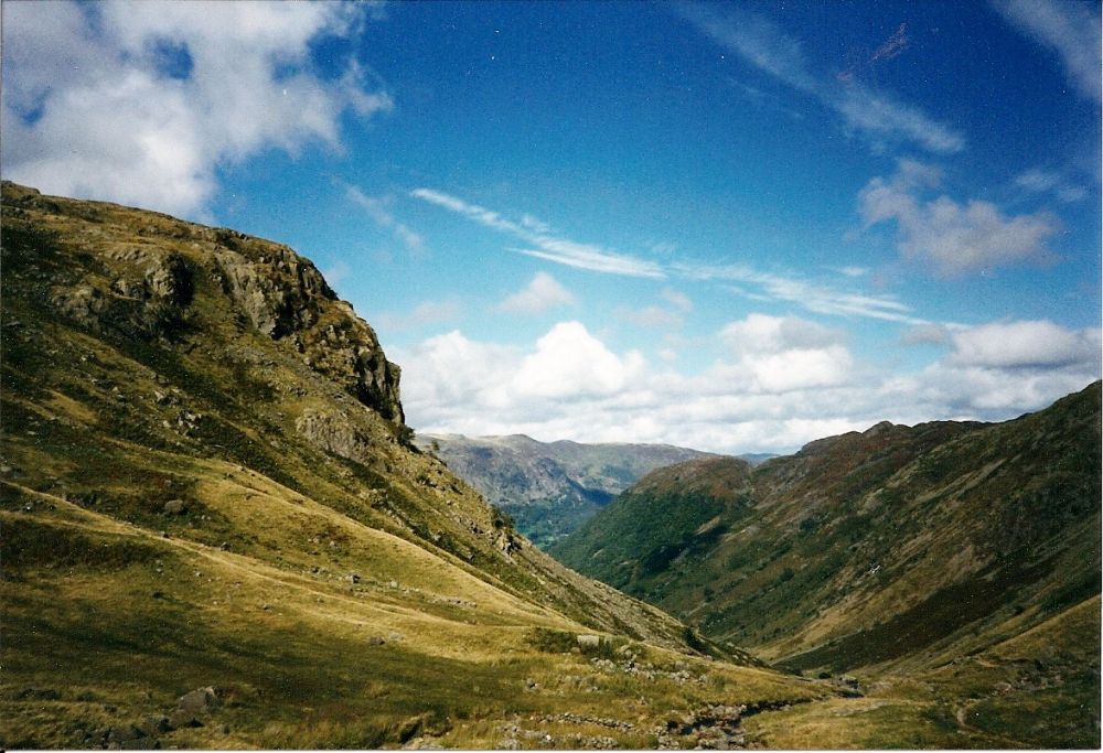
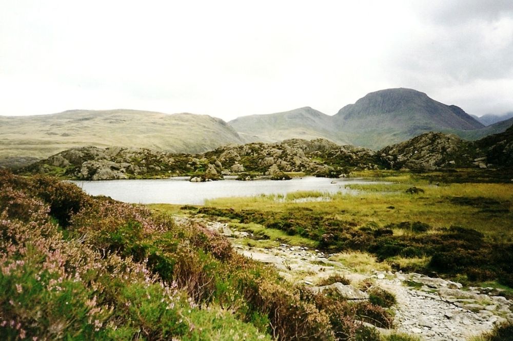
The previous day we had spent the night at the hostel at the top of Honister Pass, having climbed out of Ennerdale to Scarf Gap and over Haystacks, passing the peaceful Innominate Tarn where Wainwright’s ashes are scattered.
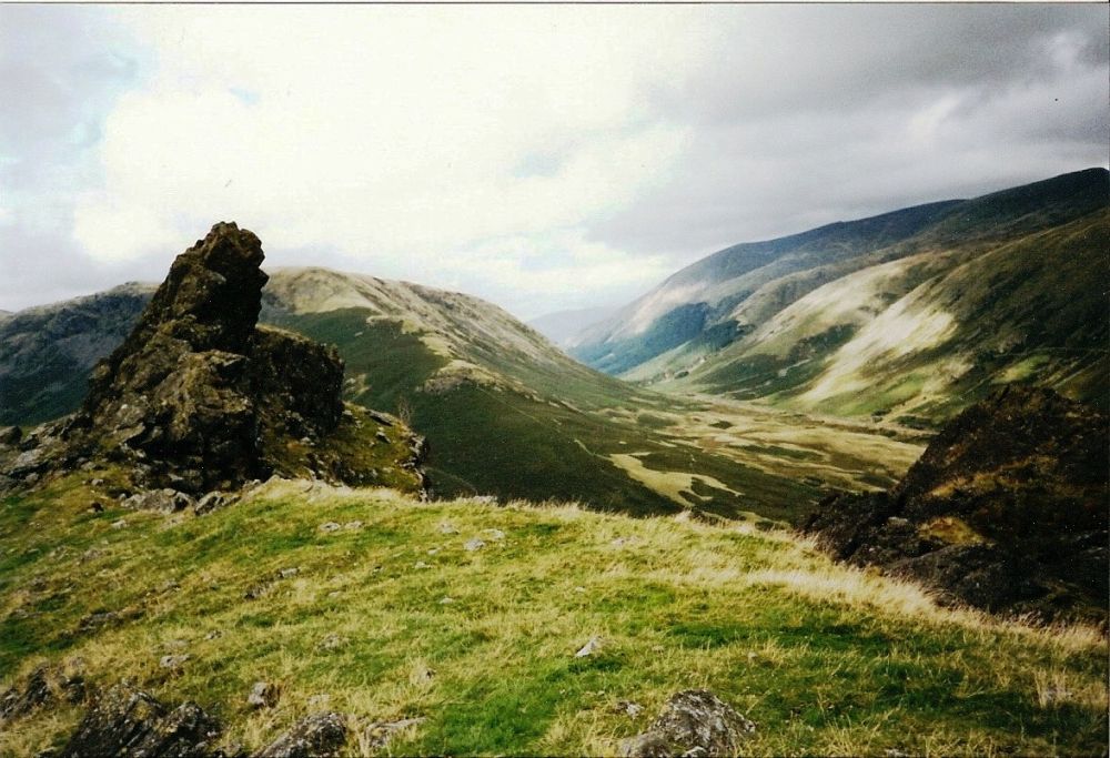
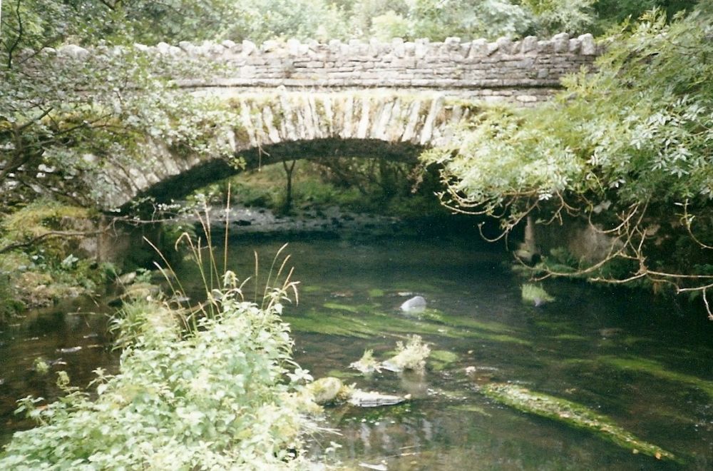
The sun was shining on the slate in this once-again busy mining area as we left the hostel, descending to Rosthwaite in Borrowdale where it was cloudy and drizzling. Seathwaite, two miles down the valley, has the dubious distinction of being the wettest place in England, which is one of the reasons why Borrowdale is such a beautiful valley.
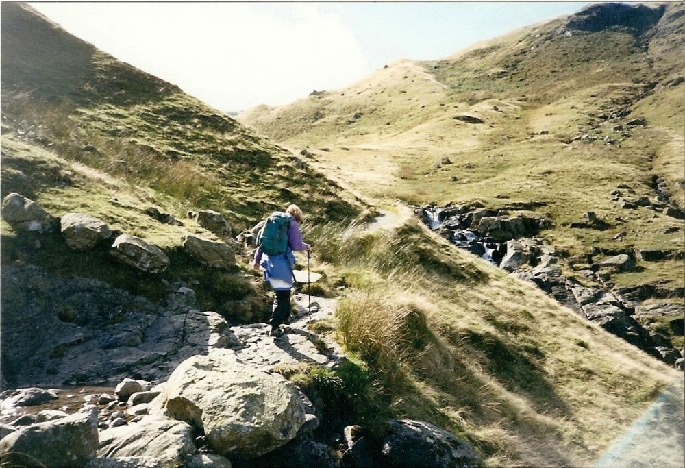
It started to rain heavily, but stopped as soon as we put on our waterproofs. The weather steadily improved as we ambled along beside Stonethwaite Beck, then climbed more steeply towards Greenup Edge.
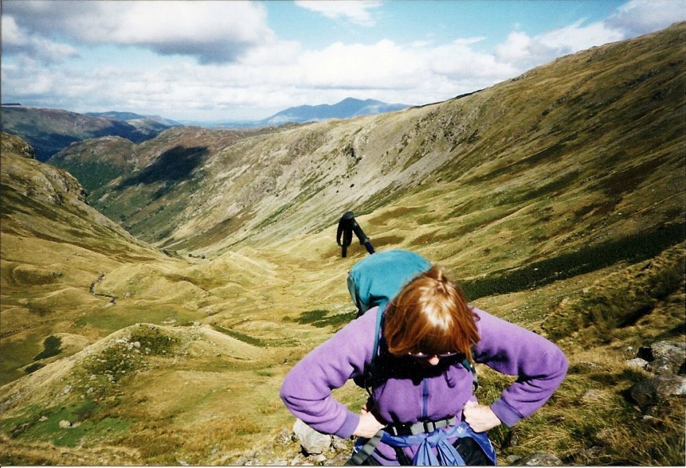
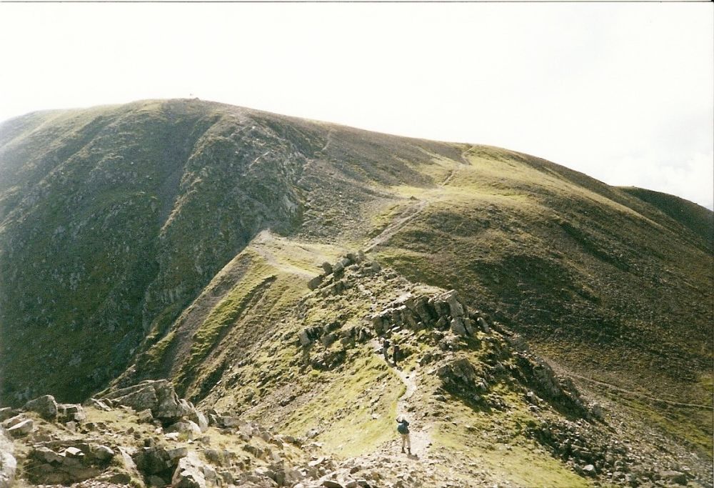
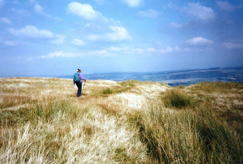
The Skiddaw massif receded into the background as we reached the top, where Rosalind took charge of the navigation, not letting me ‘take the wrong path’ to look over the ‘cliff’. I wonder why? I only wanted to survey the route.
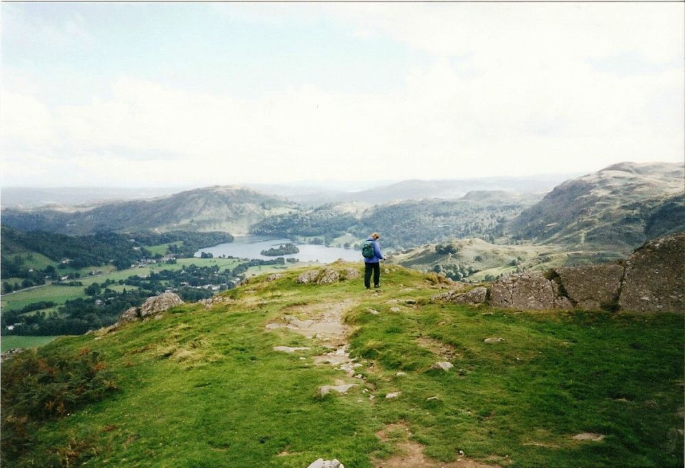
The ‘correct path’ meandered along to Calf Crag and we followed the ridge to Helm Crag (The Lion and the Lamb) before descending to Easedale Tarn then Grasmere, stopping for a mouth-watering local ice-cream before seeking out the hostel, which was a little way out of the village.
There was an excellent drying room so we made use of it and did some washing. After dinner we walked into the village proper, but all was quiet so we walked back again. There weren’t many people in the hostel either.
The only problem encountered so far – Leki finger. I must not grip my walking pole so tightly in future.
Next day we decided to take a more adventurous route over to Patterdale, and left the village via the steep hill past Dove Cottage, where William Wordsworth had lived with his sister for many years. Higher up the fell we passed the door to the back garden of Wood Close, the old vicarage where our extended family group had had many enjoyable holidays over successive Christmas and New Year periods. During that time, we had come to know the area well.
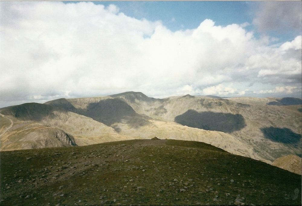
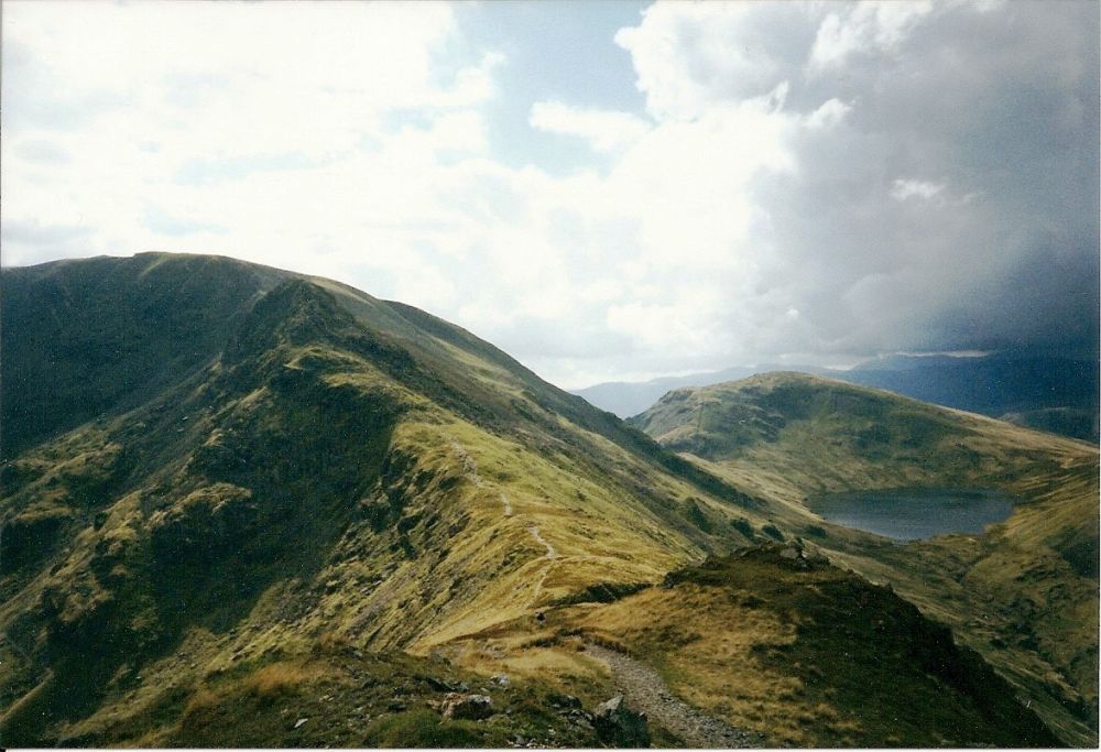
There had been mist in the valley when we left, but it gradually dispersed as we climbed above it to Alcock Tarn, then zigzagged over the rough ground leading up to Heron Pike. The picturesque views of the tarn with Grasmere nestling below gave way to more rugged scenery as we walked along the ridge to Great Rigg. The barren waste of Fairfield’s summit loomed up in front of us and behind it, 3,120ft high Helvellyn, the third highest mountain in England, was out of cloud. The popular scrambling route up Striding Edge could be seen quite distinctly.
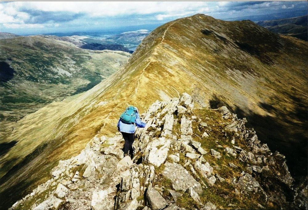
New vistas opened as we left the summit, taking a ‘demanding’ route down to the col, which added spice to life. The scramble up Coffa Pike which followed was also quite interesting. Rosalind followed without protest, but she did have a few words to say about it later.
The path across St Sunday Crag was delightful. It was a truly superb ridge route which I had wanted to do for ages and we both thoroughly enjoyed. Helvellyn looked splendid in the background and there were far-reaching views down into Patterdale, across to Place Fell and High Street. In fact, there were views everywhere!
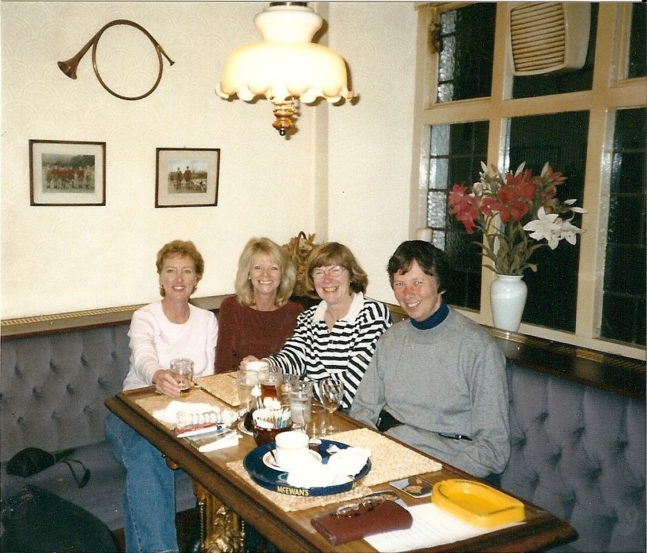
Our accommodation at Patterdale Youth Hostel was up-market (for a youth hostel) with waiter service. There was a lot of hilarity over our evening meal as we swapped stories with a couple of elderly adventurers, a lone male walker and a couple from New Zealand. It must have been at least 10 pm before we went to bed!
When we had arrived at St Bees for the start of the coast to coast walk, two women had got off the train with an amazing amount of luggage, and Rosalind wondered where on earth they were going. I joked that they were probably doing the walk. We met up with them again at Ennerdale Bridge, dressed up in all their finery and not quite at ease. They were from Australia and yes, they were doing the coast to coast and having their mountain of luggage transported.
It promised to be another lovely day as we set out after a good breakfast. The Australian ladies overtook us and there was much shrieking and laughter as one of them fell into a bog.
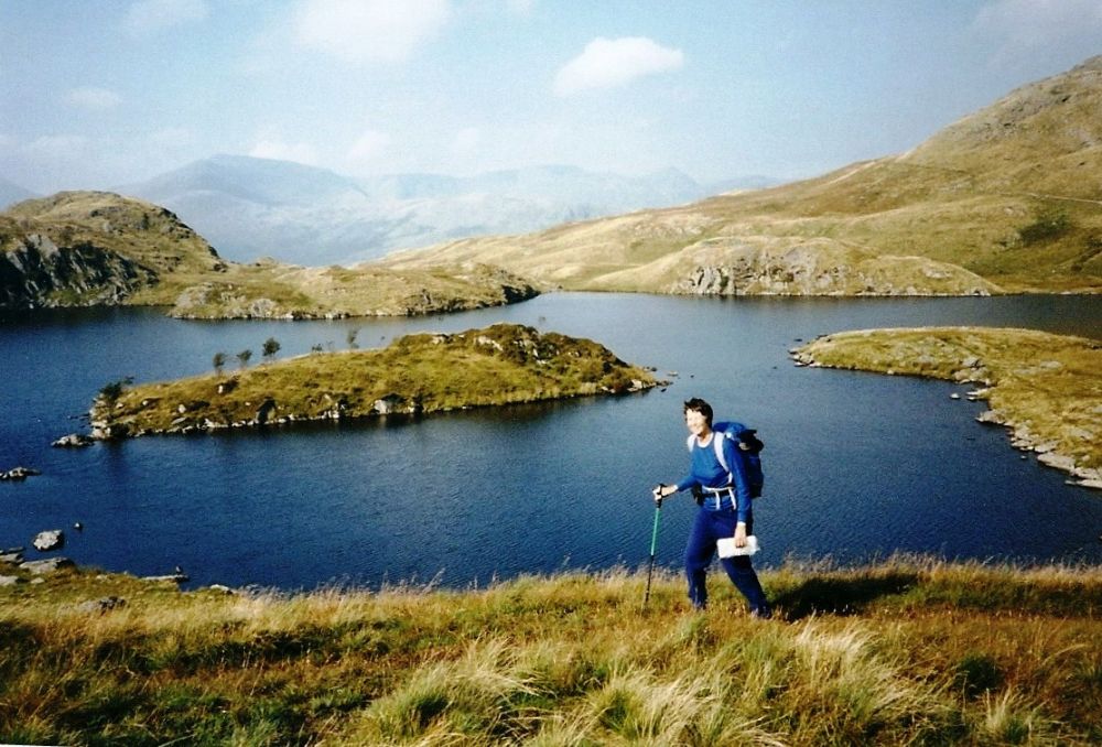
We followed a gently rising path to Angle Tarn where the blue sky was reflected on the still water then continued climbing to The Knott.
At Kidsty Pike we went our own way again, following the High Street ridge, a Roman road from Ambleside to Askham, near Penrith. The Romans built roads on high ground to avoid the densely forested and marshy ground in the valleys, but this one must have broken all records, reaching a height of 2,717ft. In the 18th and 19th centuries, summer fairs were held on the top of High Street with games, wrestling and even horse racing. Sheep which had strayed into the wrong valley were taken up there to be handed over to their rightful owners.
We wandered along the ridge, wondering what it must have been like 2,000 years ago. A pair of golden eagles had been seen in the vicinity and we thought we saw them being mobbed by crows, but the birds quickly soared out of sight. They are a rarity now, but in Roman times they may have been common.
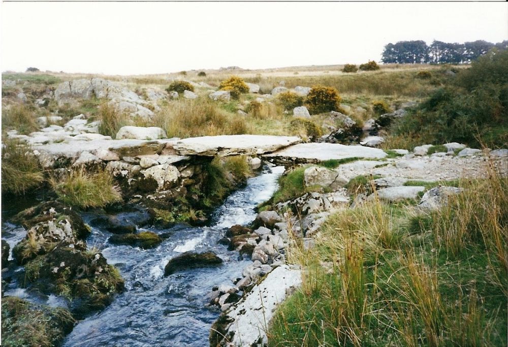
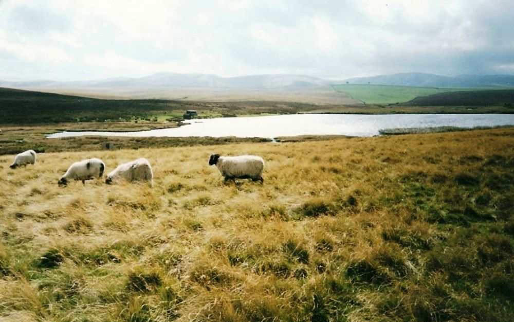
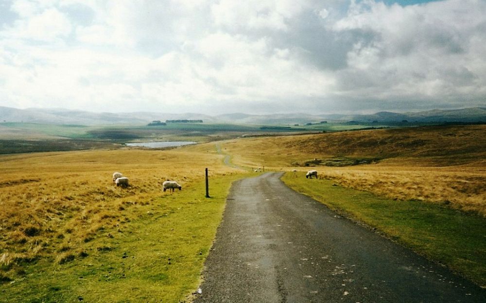
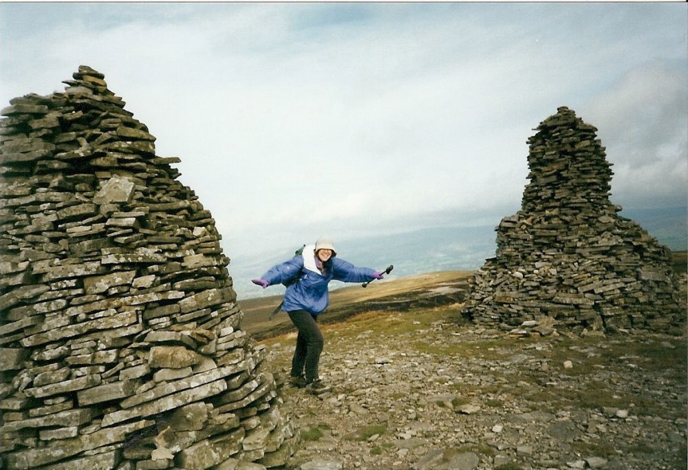
On Wether Hill we found one of Wainwright’s ‘grooves’ and followed it to High Kop, then crossed Low Kop on the open moorland of Bampton Common. Wild ponies were grazing, the sun was shining and the grass was soft. What better opportunity would there be to have ‘a little sleep’?
Much later, we crossed a stream bridged by a huge piece of slate and came to an unfenced moorland road which led down to Bampton. Here we located The Crown and Mitre where we were to stay the night, meeting up with the Australian ladies again who were now much more relaxed. We got on with them very well and had such an enjoyable evening that I forgot to phone home.
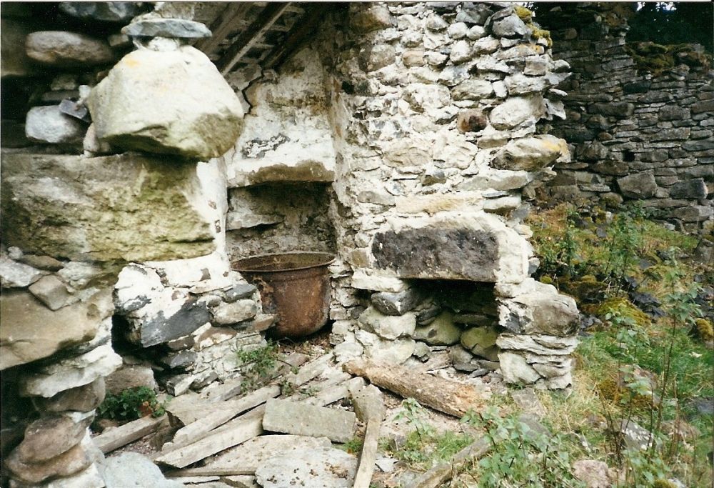
It was drizzling next morning when we picked up the route again at Burn Banks and passed through dank woods and damp meadows beside muddy streams, where the cows eyed us with suspicion. There wasn’t much to see at Shap Abbey, the ruins dating from the 12th century. The remains of a washhouse in the corner of a field were most incongruous.
We had a long lunch break at a pub at Shap but the outlook was still bleak as we crossed the M6, the rabbits scurrying to the safety of the motorway verges. Looking back, the white smoke from the cement works contrasting with the black sky over High Street made a dramatic picture. Thank goodness, we weren’t up there today.
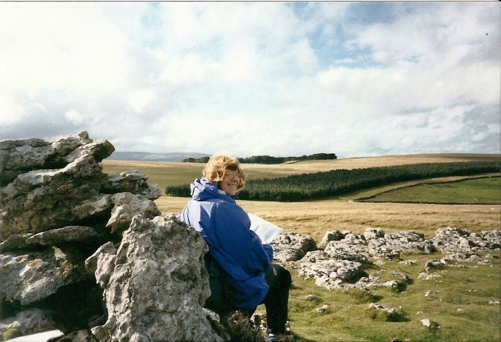
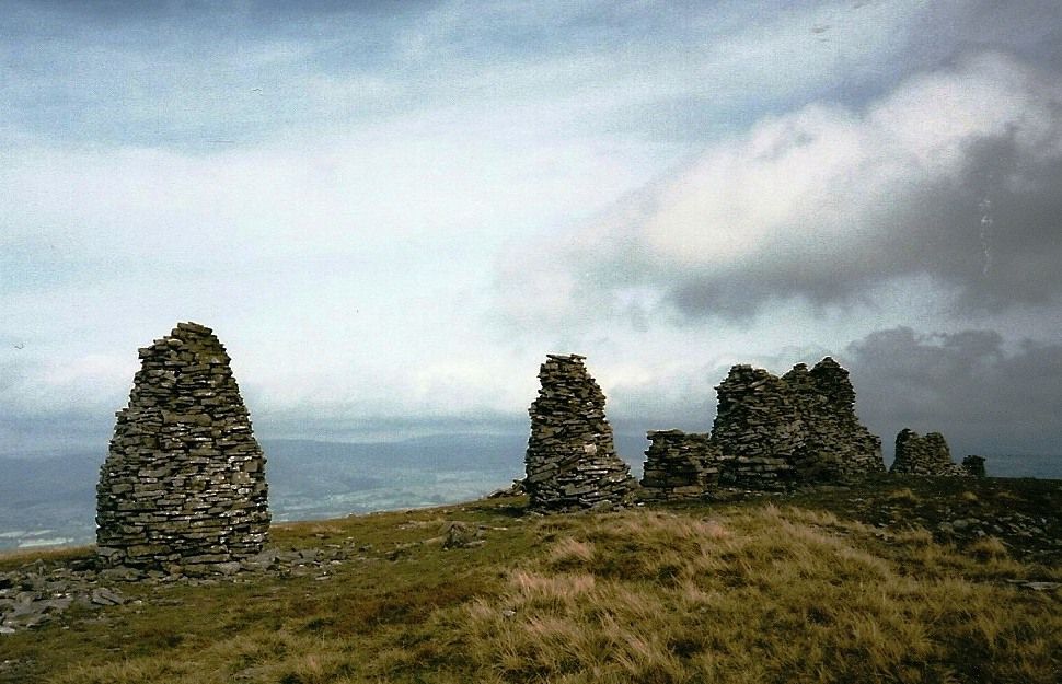
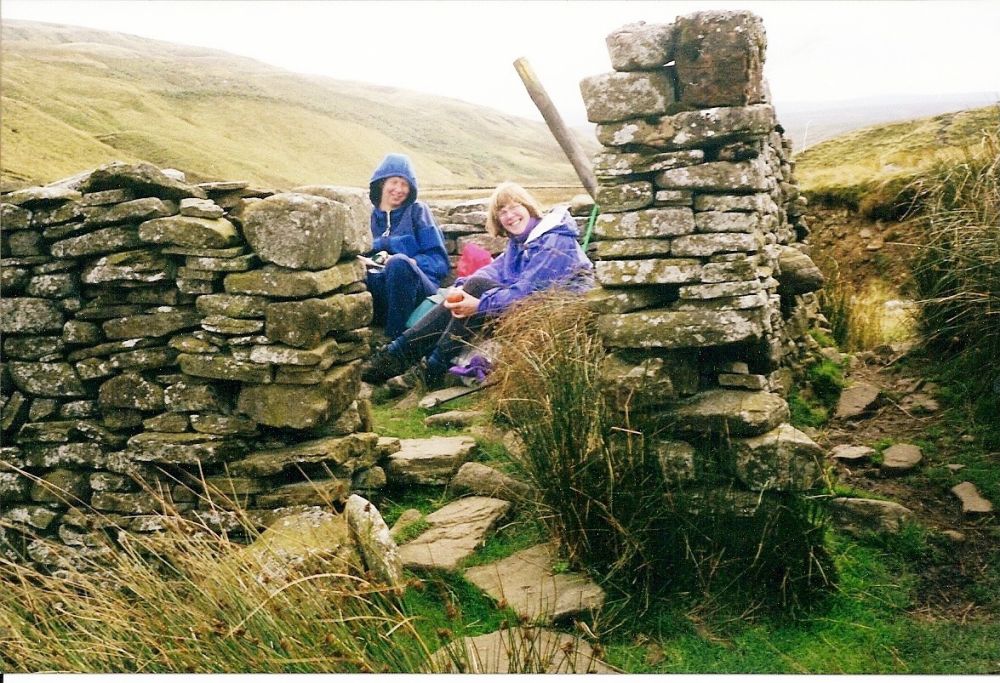
By the time we had negotiated an indistinct permitted path past a mucky quarry, passed through limestone country and across moorland, the sun was shining again. After visiting ‘Robin Hood’s Grave’ (a large pile of stones) we followed the road to our B&B, just before the pretty village of Orton.
Our accommodation was comfortable with all mod cons and the welcome was friendly, but it was hideously furnished. I couldn’t bring myself to have a bath staring at the ugly brass taps and shower fittings. It wouldn’t have been relaxing.
Our Australian ladies, Lorraine and Laraine were staying at the George in the village and we joined them for supper. Laraine, who had emigrated to Australia as a ‘£10 Pom’ had rather too much to drink and was more giggly than usual.
After the war, Australia was very short of workers for its expanding industries, and to encourage people to settle there, the cost of the sea voyage was subsidised by the government. Anyone seeking a new life could travel out for £10 sterling and children could go for free. The return journey was at least £120, so most people stayed! Over the years, over one and a half million hopeful travellers took up the offer.
I remembered to phone home before we retraced our steps up the hill in the bright starlight. We didn’t possess a mobile phone between us but in 1999 public phone boxes were still maintained.
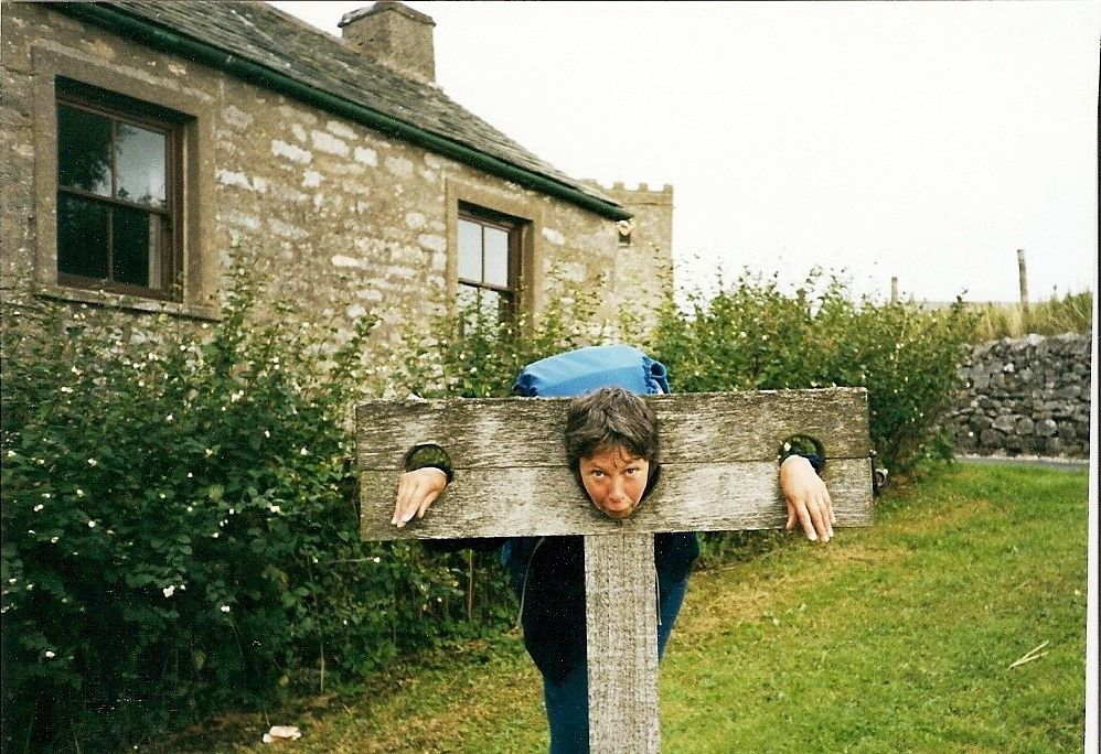
The sun was shining when we woke up. After breakfast we bought some home-made chocolate from the chocolate factory (?) in the village and sent it home to the family to show that we hadn’t forgotten them. We then had a faff and a half before leaving Orton, photographing ducks, bridges and each other in the stocks, and weren’t really on our way until well gone 10 am.
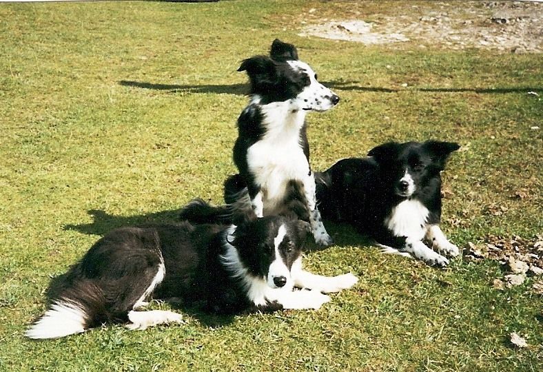
Just before Sunbiggin Tarn we met a sheepdog handler with his three amazingly obedient dogs, Nan, Nell and Floss. At the words ‘Come here. Nan, lie, Nell, sit, Floss, lie’ they instantly posed for their photos to be taken. They regularly entered national sheep dog trials and Nan, who was the daughter of a ‘One man and his Dog’ winner, was a potential future champion.
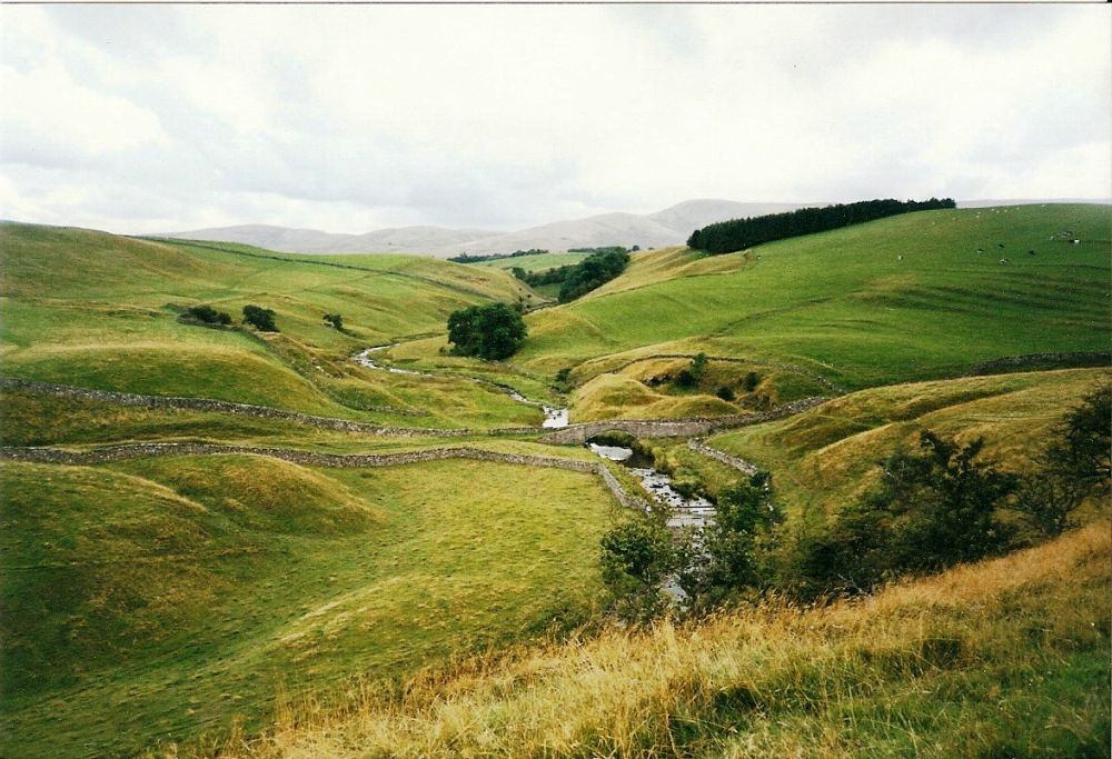
Leaving the limestone country, we continued over Smardale Fell then along the beautiful, secluded valley of Smardale. There was the odd shower, and as we reached Smardale bridge, an 18th century stone packhorse bridge over Scandale beck, a heavy squall made us shelter. However, the weather stayed mostly sunny and there were interesting cloud formations. Several young men who had come all the way from Shap yomped passed us, eyes ahead. None of them looked happy.
Just before the small market town of Kirkby Stephen, we were walking through a field of cows when we suddenly realised that BIG DADDY was straddling the path in front of us. We gave him a wide berth.
The hostel where we spent the night was a cleverly converted church and we had our evening meal there. Afterwards we tracked down Lorraine and Laraine in the village to have a drink with them.
At breakfast next morning, one of the yompers who had passed us the previous day was almost in tears. He had damaged his Achilles tendon and his friend had decided for them both not to continue.
Another man, who was so disabled he could hardly walk, went off in his car to do some sketching. We started the plod up to Nine Standards Rigg, taking the ‘blue’ permitted route. To keep erosion to the minimum, there were now three alternative paths used in rotation.
The tail-end of Hurricane Floyd met us full force as we neared the top, making it difficult to stay upright, but the sun came out and the views were far-reaching.
Hurricane Floyd had been only 2mph short of a category 5 hurricane, the strongest on the scale. In the eastern states of the USA, 2.6 million people had been evacuated and torrential rain had resulted in widespread flooding, causing over $6 billion in damage.
The way down from the summit was very muddy and pitted with peat hags which had to be avoided. We passed and were passed by several other twosomes, including two Americans who had been at Ennerdale Bridge with us.
Lorraine and Laraine waved to us from a ‘superior’ sheltered sheepfold. They had ‘saved’ it for us for our lunch stop before they went singing off into the distance. That night they were staying in the little village of Thwaite, three miles off the coast to coast walk but on the Pennine Way. Unbeknown to Laraine, her Scottish relatives had organised a surprise family reunion for her at the hotel.
As we reached the end of the lonely road to Ravenseat we passed a parked car and our ‘sketching’ man was at work. He was very good.
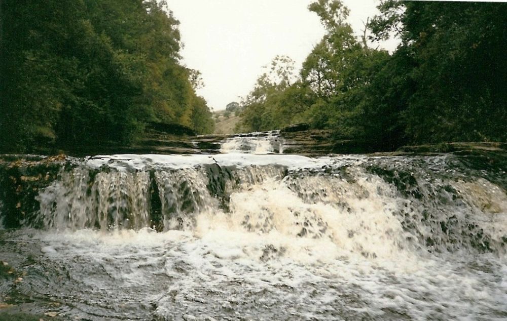
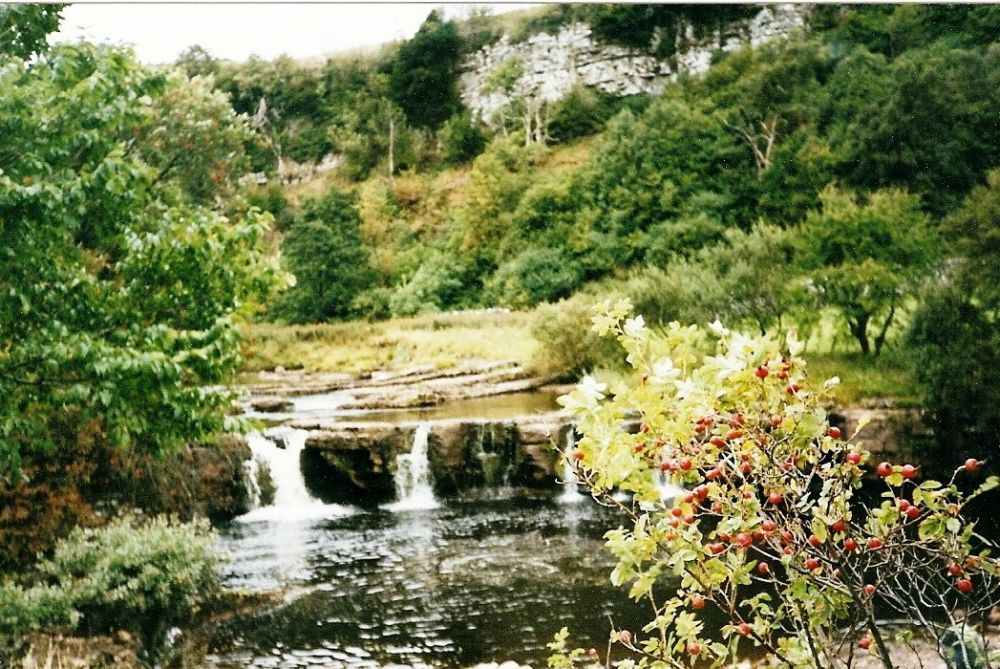
We reached Keld early and had hot chocolate and goodies in the tea-room before taking some pictures of the waterfalls, standing on rocks midstream to do so. Two days later the river would be a raging torrent.
The hostel was busy but comfortable, run by an enthusiastic young man who cooked and catered incredibly well. Over our evening meal we swapped stories with several ‘hard men’ who were doing the Pennine Way, which crosses the coast to coast route here. We had no ambition to tackle this strenuous route.
Times and ambitions change, however, and in 2013 we would again be taking photographs of the waterfalls, having walked along the Pennine Way from Keld!
The Youth Hostel closed in 2008.
We still exchange Christmas cards with Lorraine and Laraine and hope to meet up with them again one day.
We return to Rosthwaite for the continuation of our journey and jump forward in time ten years to 2009.