
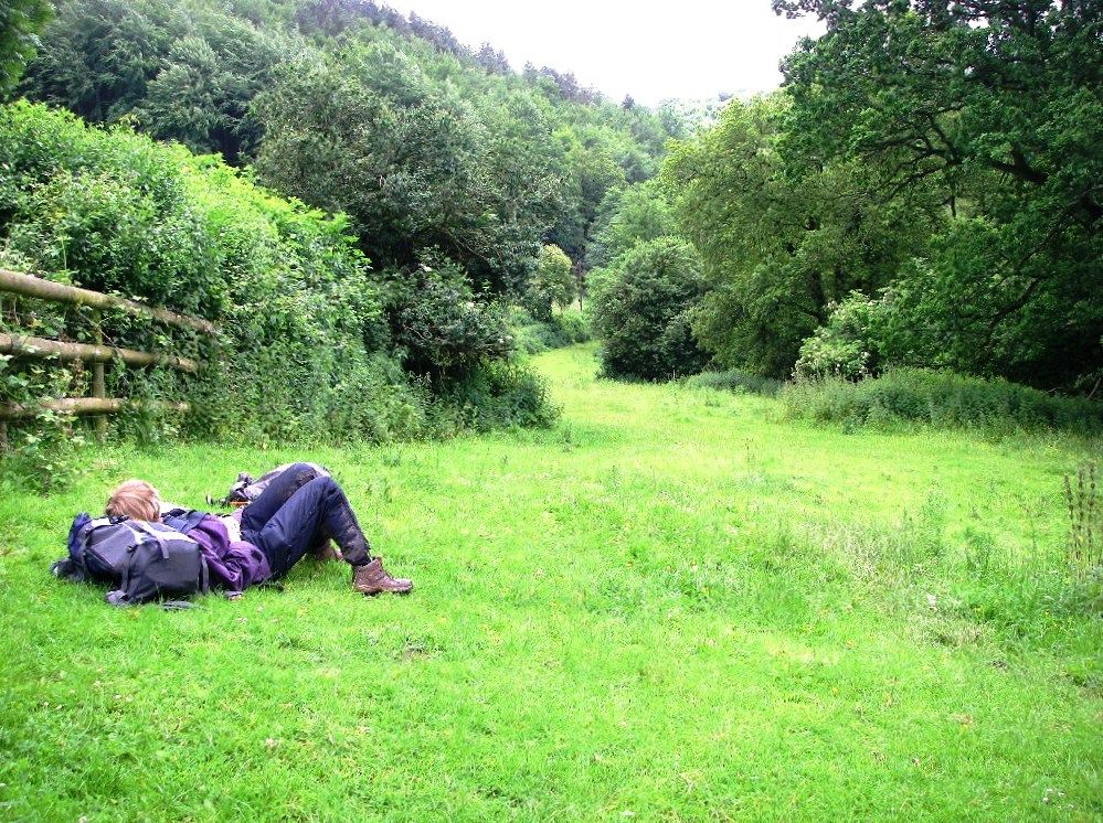
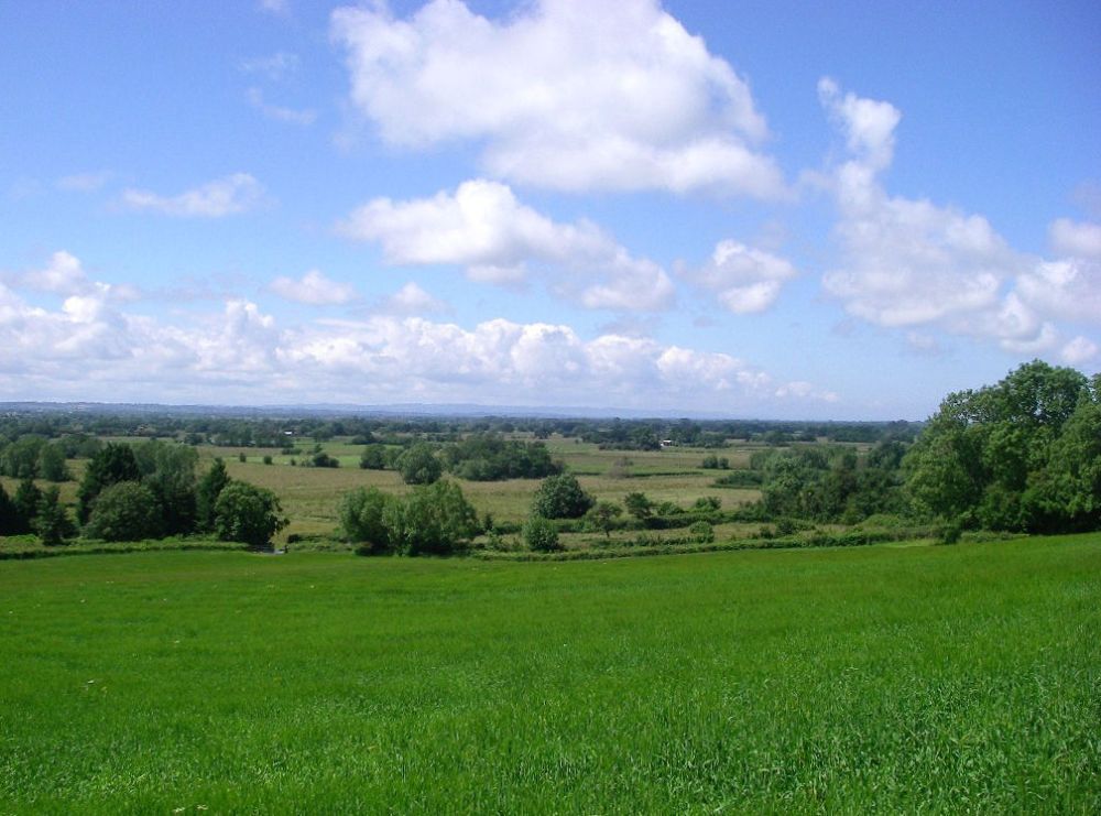
It had rained consistently right through April, May and the first half of June with floods across the Somerset Levels, but now there was a break in the weather, so we were hoping for the best.
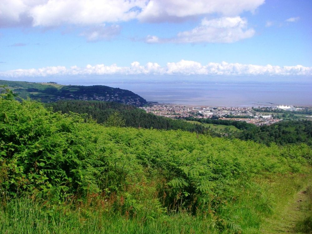
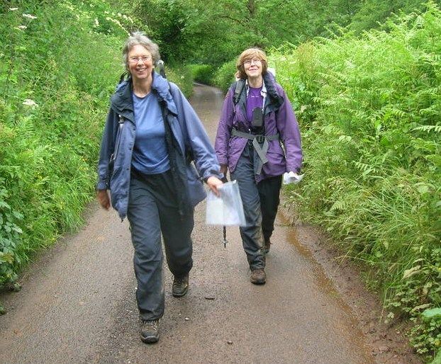
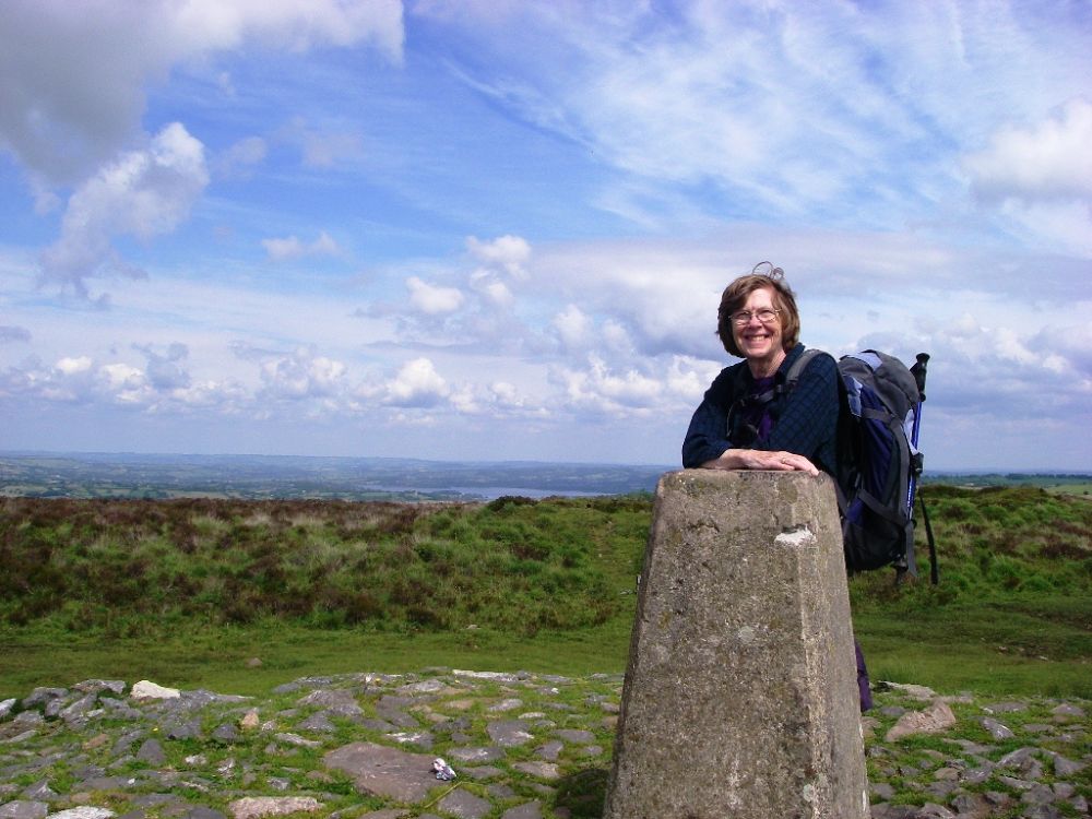
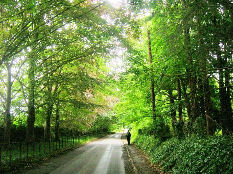
I met Rosalind at Taunton Station where we joined a queue of people with VAST trunks who were waiting for the bus to Minehead. Rosalind, who knows about these things, informed me that they were on their way to Butlin’s Holiday Camp as it was change-over day. We found a seat on the top deck but didn’t manage to negotiate the luggage mountain in time to make our exit in the town centre, ending up in said holiday camp, where we were greeted by welcoming music blasting our eardrums. We quickly made our escape and walked back through the town to the start/finish of the South West Coast Path.
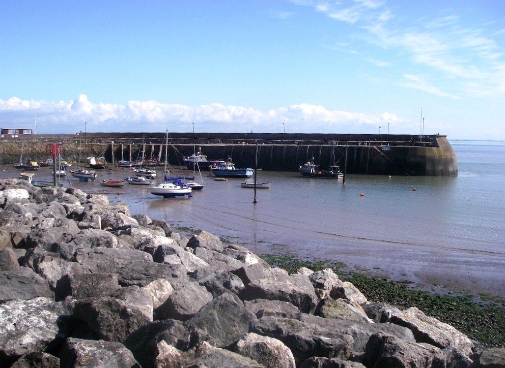
It was a lovely evening, so we climbed up the hill on the coastal path and wandered along the cliff tops in the sunshine before returning to our digs at the Old Ship Aground, next to the harbour. We settled ourselves in before going down to the dining room for our evening meal. It was a long time coming but my roast pork was well worth the wait.
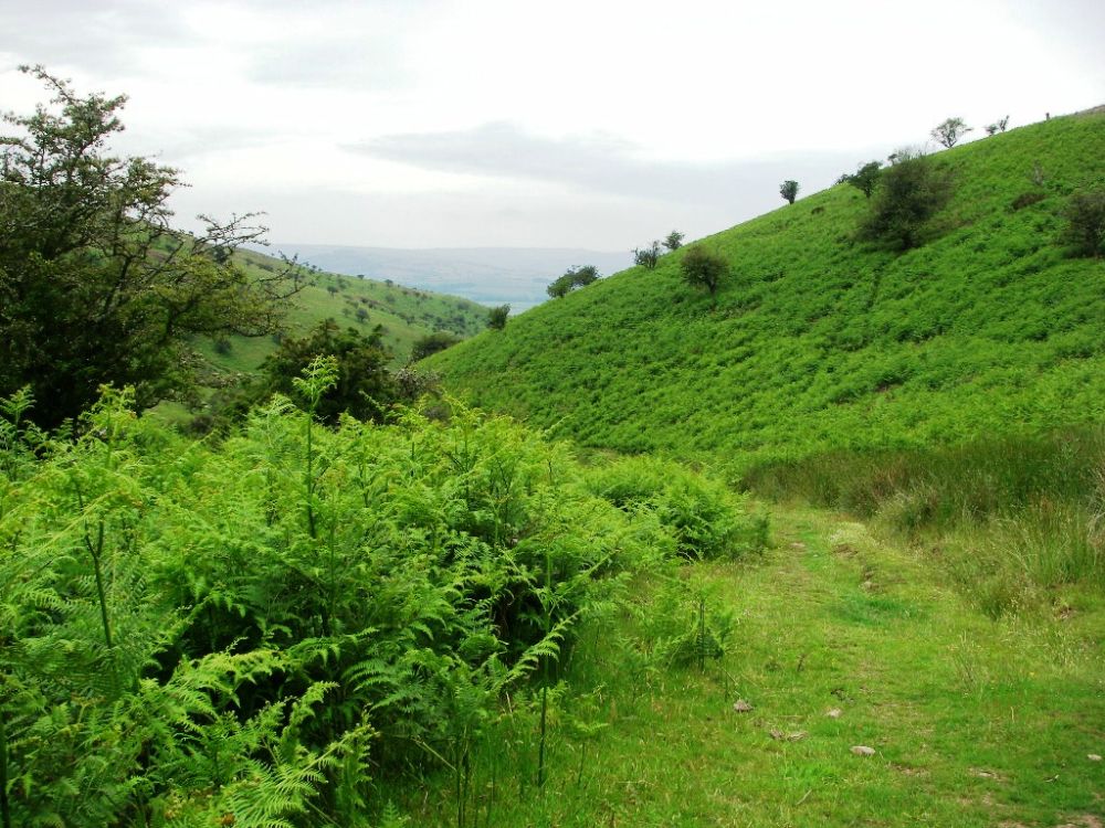
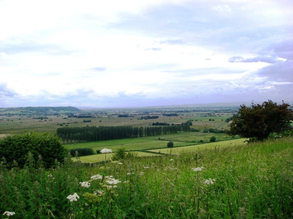
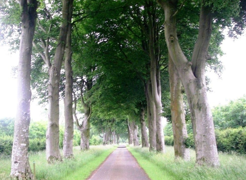
Next day our breakfast was very slow in arriving and when it came there was no bacon. Not a good start to the day. It was nearly 10 am before we got away, just about managing to navigate our way through Minehead before climbing up into the Brendon Hills, joining the MacMillan Way West at a prominent signpost. The path followed a fine, high-level route with views across the bay towards the gleaming towers of Butlin’s in the distance. It then went down a muddy track into Dunster where we enjoyed freshly made scones in a café garden below the steep hill leading up to historic Dunster Castle.
We usually have a map each in case we lose one, which means we can argue over the route with authority. Unfortunately, we only had one map between us for a short section coming out of Dunster, and confronted with two paths both leading to Batts Hill we took the more circuitous one by mistake. The prominent signpost at the beginning had given us false hope that the Way would be well marked. Cutting our losses, we followed a compass bearing along a delightful little path through a dark conifer plantation with a bank to our left and the ground falling away very steeply on the right. Coming out of the forest I thought we had re-joined the Macmillan Way, but it soon became apparent that we were on a parallel track. We followed this down to Withycombe.
Back on our intended path we battled across overgrown fields and around crops, but a sort of path had been bashed down in places and there were a few Macmillan Way signs pointing in the opposite direction. A quiet lane led us along the last mile into Torre, well known for its traditional cider.
Our accommodation for the night was at the 17th Century White Horse Inn where we had a delicious evening meal before watching England beat Ukraine in the Euro 2012 championship from our beds before nodding off.
The sun was out again next day but the longer-range weather forecast was NOT GOOD. The breakfast was though, and well-fortified for the battle ahead and with compass in hand we set off across the fields. The MacMillan Way may be a designated long-distance path but as far as the local farmers were concerned it didn’t exist. After a problematic morning we eventually reached Willington where we bought two huge baguettes, one of which we ate for lunch. Then we were ready to tackle whatever lay ahead.
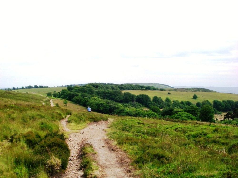
Finding our way out of the village was not easy but eventually we were in the countryside again. After crossing the railway and the main road twice we climbed up into the Quantock Hills from where there were clear views of Butlins at Minehead and around the coastline to the Bristol Channel. The sky clouded over, and we had a few spots of rain, but it was a lovely walk along the ridge, although the path had been badly eroded by mountain bikers. Felix, Rosalind’s grandson whom we had met at Hayle, was a mountain biker, as was my son Mike, so neither of us felt we could complain too much.
We left the high ground to cross a meadow, descending via Little Quantock Combe, then continuing along a flower-lined lane to Crowcombe. Here we caught the bus to Bishop’s Lydeard. It seemed a long way to Pound Farm, but on reaching our destination at last we had a warm welcome, a pot of tea and large slices of lemon curd cake. Luxury! Our quarters included a huge bathroom with a large bath so we each had a long soak and ‘chilled out’. As we still had one of the oversized baguettes, were full of cake, it was a long way back to the village and it was raining hard, we decided to skip our evening meal. The weather forecast for the next day was atrocious, so we worked out an alternative route with less high-level walking and more on the roads.
When we awoke the outlook was dull but as it wasn’t yet raining we decided to keep to the original route. After an excellent breakfast we walked to the village, catching the 9.30 am bus back to Crowcombe. Rosalind left her copy of the map behind while taking pictures of a pretty garden, so it was lucky we had one each.
The rain held off as we climbed back up to the Quantock ridge then crossed Great Hill, but by the time we got to Wills Neck, the highest point at 1266ft, it was raining hard, soon becoming very muddy underfoot. We met a few bikers and a dog walker, but sensible people were staying indoors.
We continued along the ridge past Lydeard Hill then descended to the road. We had lunch sheltering under our festival ponchos in a bluebell wood before taking the very yucky footpath up Cothelstone Hill. The path improved a lot towards the top and the rain eased. A watery sun nearly broke through the mist! I would expect nothing less on midsummer’s day. We navigated down through Paradise, compass to the fore. I’ve been using it a lot on this trip, more so than when on mountain expeditions in the mist. Joining the road, we continued down to Cothelstone past the entrance to Cothelstone Manor. The present edifice dates from 1600 but its history can be traced back to before the Norman Conquest.
As soon as we got back to Pound Farm our waterproofs were whisked away to be dried, although they weren’t wet inside. This time there were home-made biscuits with our pot of tea. The luxurious bath which followed was even more welcome than it had been the night before. The weather had closed in again, so we made do with some emergency supplies, not venturing out. We did little else for the rest of the evening; during the night there was more heavy rain.
By morning the rain had stopped, and after another splendid farmhouse breakfast we made a big effort, leaving before 9 am.
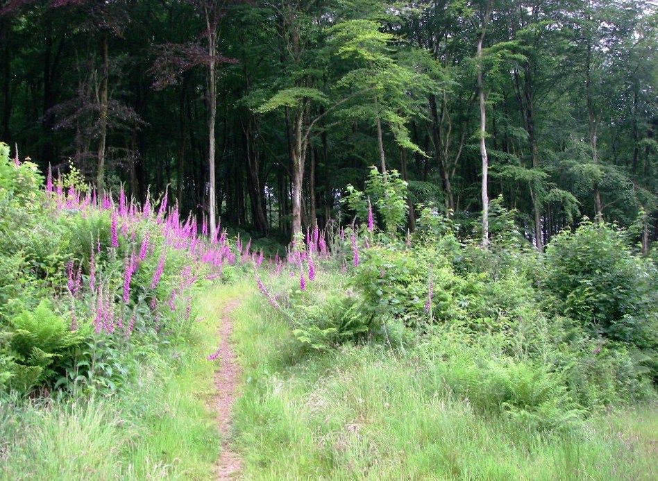
For two miles we followed country roads then it was the battle of the mud for the next five. There was a brief shower but otherwise it was a fine day. After the unremitting sludge we came to a road again where we met three cheerful fellow-walkers coming the other way. We had a chat about our relative muddiness and they took a photo of us both. In contrast the next couple of miles were delightful and we made fast progress along a good path through a wooded valley lined with banks of foxgloves.
The next village was North Petherton which dates from Saxon times when it had been an important centre on a communications route. We passed the church of St Mary where there is a replica of the Alfred Jewel, the original being in the Ashmolean Museum in Oxford. Found in Petherton Park in 1693, the jewel is made of enamel and gold with a quartz covering and has a hole for a pointer, perhaps to help when reading a book. The inscription ‘Aelfred mec heht gewyrcan’ (Alfred had me made) suggests it once belonged to the great king himself.
Before leaving the village, Rosalind went into a shop to buy a nail brush to try to scrape the mud off her trousers, a futile exercise as it was caked on up to her knees.
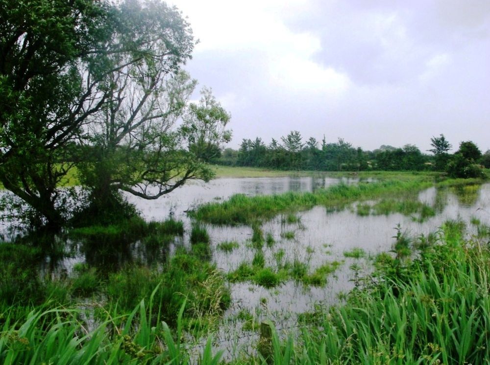
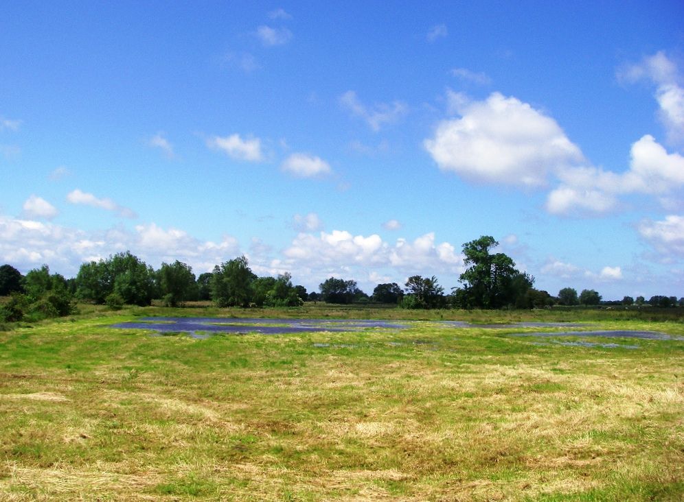
Soon we were in the countryside again, crossing the first section of the Somerset Levels on a track through apple orchards. There was some standing water in the fields but no major flooding here. It would be a very different story in 2014. Then severe flooding would cover much of the area; people with their livestock would have been evacuated. The rail connection to the West Country would be severed as water washed across the lines at Bridgewater. Elsewhere, the coastal erosion would be extensive.
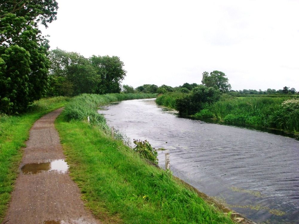
Reaching the Bridgewater and Taunton Canal we walked along the towpath to our next overnight stop, an inn situated pleasantly by the canal but with traffic on the M5 roaring past overhead. No-one was about so I walked on to check that next day we could get across the River Parrot via the railway bridge as it wasn’t clear on the map.
Back at the inn we phoned for attention and finally gained access. We made ourselves presentable and went down to the almost empty bar where we were joined for a meal by Rosalind’s son Peter, his wife Clare and two of their three children, Felix and Rory. Felix was now a very good-looking young man and when he wasn’t churning up the Quantock Hills he was at Cardiff University studying mechanical engineering. His younger brother, Rory, had just completed his GCSEs.
We weren’t disturbed by the overhead motorway in the night, but I had nightmares about route finding. The Samaritan’s Way, which we would be following for the next section of the walk, was not shown on later editions of the Ordnance Survey map. I had no way of knowing whether the route was still viable.
The Inn was very spacious but there was a drab, deserted feel when we came down to breakfast. Only the parrot was there to say, ‘good morning’. We left at about 9 am after a below-standard meal.
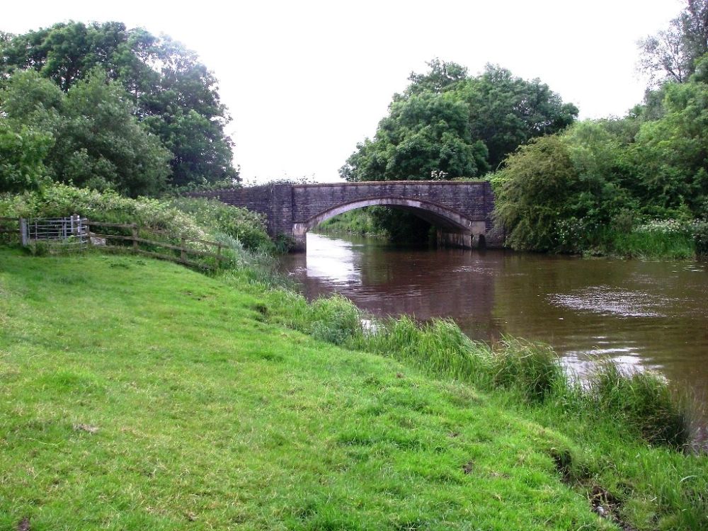
After crossing the railway bridge, we skirted Bridgewater on a quiet road which went past back gardens on one side and a large flower farm on the other. There was a substantial footbridge over the motorway leading to a non-existent footpath, but where it should have been was well-marked with Samaritan Way signs. Not surprisingly the next mile was difficult, but we made it and emerged on the road through Chedzoy before crossing the King’s Sedgemoor Drain over Parchey Bridge.
Soon after the Drain we saw a buzzard swoop down to attack a heron, possibly thinking it had young in a nest. The heron escaped, the buzzard retreated, and no harm was done.
The Way then went along a ridge to modest Pit Hill, which non-the-less gave extensive views over the Levels. We were even rewarded by a display from the Red Arrows at the Yeovilton air base.
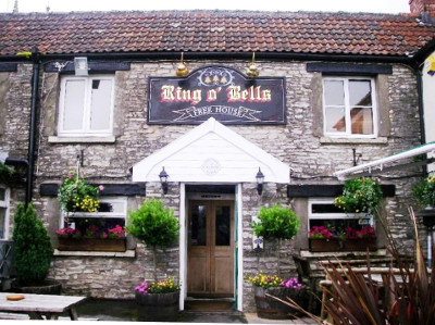
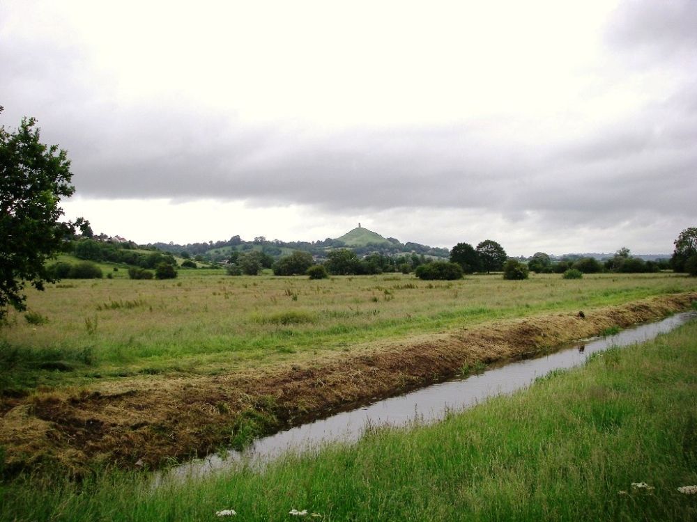
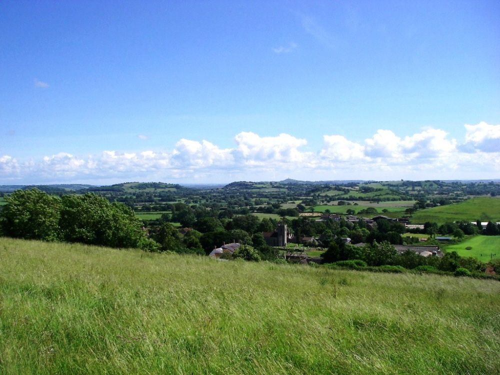
At Moorlinch we stopped at The Ring O’Bells, had some soup for our lunch and bought a sandwich for our evening meal. Bad weather was forecast again and our shelter for the night was a long way from the nearest pub. Although the next section of the route looked easy on the map we had some trouble negotiating two cattle farms on muddy and ill-defined tracks. We finally extricated ourselves, climbing up to the open access land on Walton Hill. Here there were more panoramic views back to the Quantock Hills and forward to Glastonbury Tor with the Mendips behind. The weather stayed dry until we reached the farm where we were staying, just outside Street. We cleaned up, ate our sandwich along with a few goodies that were secreted in the rucksack, and watched the rain come down.
The breakfast next morning was superb with such a large choice of starters that after sampling them all we didn’t need anything cooked. The weather was murky but not quite raining as we found a back way through Street across green areas then along quiet roads.
On reaching Glastonbury we climbed Wearyall Hill where a group of Americans were tying votive ribbons on a tree stump and having a prayer meeting.
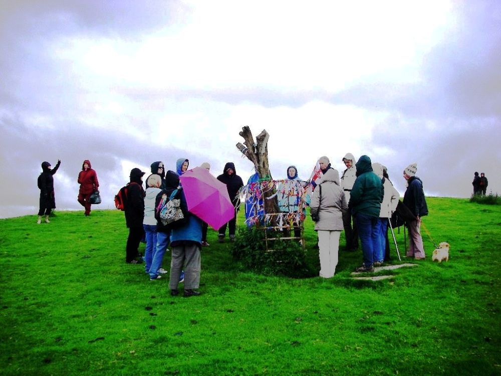
According to legend, Joseph of Arimathea came to England in the first century AD to spread Christianity. The thorn tree sprouted from his staff when he stuck it into the ground. The tree has had a chequered history. It was cut down during the civil war and the current one was planted to commemorate the Festival of Britain, only to be vandalised and have all its branches cut off in 2010. This hasn’t stopped coach loads of international tourists from making the pilgrimage to Glastonbury to pay homage to the stump.
Another group of tourists were congregating at the entrance to the abbey where we didn’t have time to stop. The sun came out as we set out on a long, quiet lane across the Levels. There were floods in the adjoining fields and in places the water was lapping up to the road, but no-where was it impassable. A week or so ago the water level had been higher, so we were lucky we didn’t have more problems.
After leaving the road the route became much more problematic. It was quite a struggle through long grass, then thick clay sticking to our boots, stiles obscured by brambles, hidden and rickety bridges over the dykes, electric fences and muddy bridleways.
We found sanctuary in a peaceful flower meadow where we stopped to have our lunch. Rosalind phoned her sister and received some bad news. Her niece, Sally, who was suffering from cancer and had already had an arm removed, was now under heavy sedation in a hospice. She was only thirty-eight and had two young children. I watched a small bee making its way from flower to flower and reflected on the fragility of our brief lives.
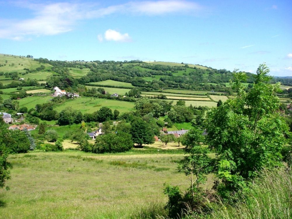
In sombre mood we continued our walk, but our spirits lifted somewhat as we climbed to the top of Westclose Hill at Westbury sub Mendip. We could see everywhere we’d been, across the Levels to Glastonbury Tor and the Quantock Hills with Minehead in the distance. In front of us were the Mendips. We had a very pleasant stroll along the ridge before descending to the main road. An attempted diversion didn’t look promising, so we plodded along the road for the last half mile to our B&B, pausing on the way to buy fresh Somerset strawberries and some blueberries at a stall by the road. They were very tasty.
Our room was a large en suite with the luxury of a bath which was much appreciated. We were given a lift to the pub for our evening meal, one at a time in a BMW sports car. Veal was on the menu, so we put our ethical considerations to one side and very much enjoyed the delicacy.
Rosalind had a lift back in the sports car, but I walked as it was a lovely evening. We watched the football match between England and Italy but fell asleep during extra time. It couldn’t have been a very exciting match.
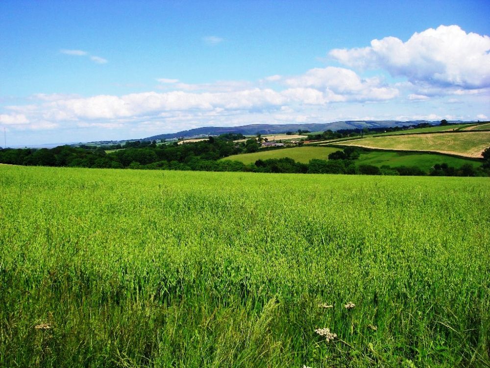
The previous night Italy won the penalty shoot-out 4-2 so England was out of the Cup. Still, life goes on. After a hearty breakfast we set out and were soon climbing to the top of the Mendip Hills. The lush, green fields made a pleasant change after the mud. Again, there were good views, although it was a bit murky towards the Bristol Channel. Cloud was all around us, but a patch of blue sky stayed overhead so we enjoyed our own personal sunshine.
We descended towards Cheddar then climbed up to the ridge above the Gorge. It was a short day’s walking, so we had plenty of time for a long lunch break with a little sleep at the top of a flowery meadow where there were even better views of everywhere we’d been. By now the clouds had dispersed; it was a lovely day. Rousing ourselves at last we descended into the Cheddar Gorge then walked along the valley to the Velvet Bottom nature reserve. Here Rosalind found our hidden footpath which went up the hill, crossing more green meadows.
Sadly, further up the hill there were no more verdant pastures. The field where we decided to have our next stop had recently been occupied by cows and they had left their mark. I was stung by a horsefly. Insects seem to like me, but they leave Rosalind alone. This is not fair.
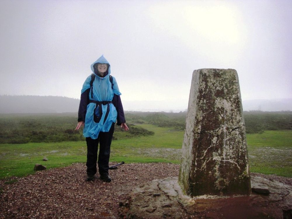
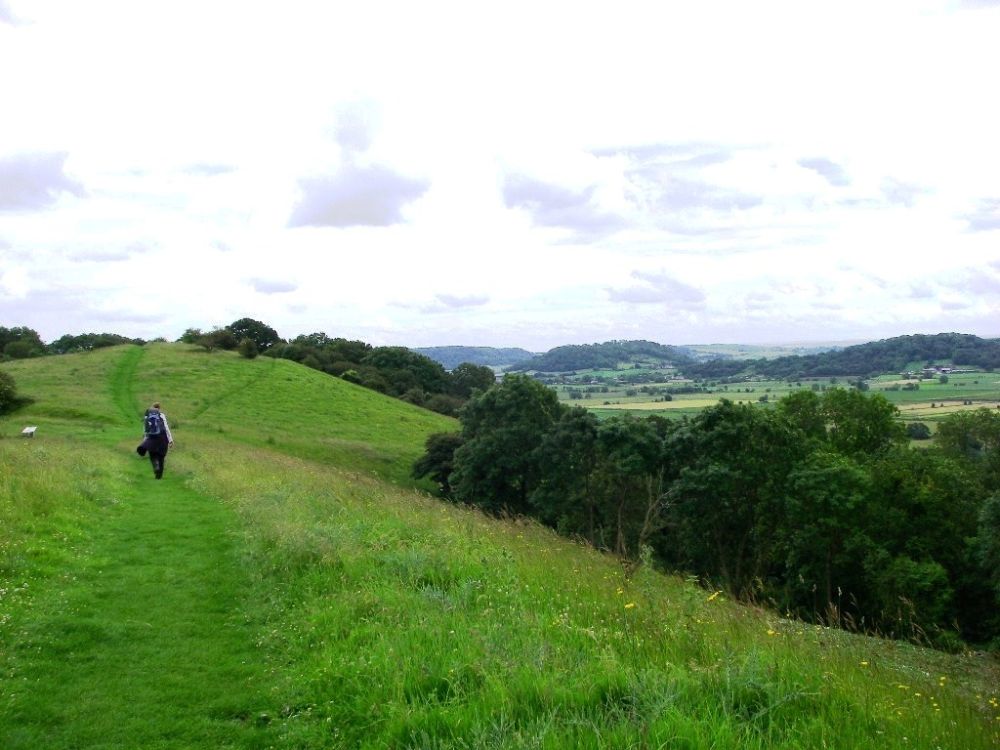
The trig point on Beacon Batch, an area of Bronze Age round barrows on Black Down, is the highest point of the Mendips at over 1000ft. One of the barrows supports the trig point. As it wasn’t far off our route we made a detour and were rewarded by the best views of all. In addition to those already seen, to the north east we could pick out the Cotswold Hills. It was a shame it was too hazy to see the Tyndale Monument on the hill behind Rosalind’s house in Wotton-Under-Edge. From there she can see across to the Mendips on a clear day.
We slowly went down to the road, but despite all the time-wasting we arrived at our B&B at about 4 pm. The cleaners were still at work, but we were given the paper-work to complete, filling in the anti-terrorist forms in the back garden. When finally admitted we had a shower, then a long soak in the hot tub at the bottom of the garden, which was very relaxing.
It was a long way down a steep hill to the pub in Blagdon for our evening meal. I had liver, bacon and mash and then shared a delicious treacle sponge with Rosalind, having requested two spoons. The landlord offered us a lift back up the hill afterwards, but we had to walk off the treacle sponge!
In my diary I have labelled Tuesday 26th June ‘Disaster Day’. Underneath is written ‘(or in the shit)’ in smaller letters. However, we did have a good breakfast which fortified us against the trials ahead. The farrier arrived to be dealt with before we could be ‘signed out’, and it was nearly 10 am before we could make our exit, now on the Limestone Link.
The weather was mixed, hot and humid one minute and raining the next, so we had to keep pulling anoraks on and off, for the change in weather, also for protection against brambles and nettles. I stopped to put sun cream on, carefully putting my glasses on top of my rucksack, and was immediately attacked by another horsefly. In my hurry to get away I swung my rucksack onto my back, sending my glasses flying off into the dense undergrowth, never to be seen again. What annoyed me most was that the horsefly got me anyway.
The next mile or two was on good paths, tree-lined in places. Then the shit started, and we trudged along cowed-up path after cowed-up path. We decided that the road would be a better bet, but were quite despondent as we toiled up a steep hill to a ‘view point’ which was marked on the map but very much an anti-climax. We plodded on, with low spirits and aching backs, wondering why we had ever thought that it had been a good idea to walk from one end of the country to the other.
Then, around the next corner was a welcome sight, another pub called ‘The Ring O’Bells’. It was now 2.30 pm but it wasn’t too late for a reviving cup of coffee plus two large cookies, provided free because the kind barmaid took pity on two weary, muddy old ladies.
Our spirits rose, and we had a few miles on a high-level path through delightful flower meadows before the slurry reclaimed us. It was a shame because we were passing through a nature reserve in a pretty valley. A fox jumped into a stream just in front of us and we could hear it splashing about on the other side of the trees. We crossed the brook on a precarious plank bridge and soon emerged on the A39 at Hallawtrow, a hamlet of High Littleton which was just up the road.
It was here that William Smith; the ‘Father of English Geology’ first noticed the succession of rock and fossils while working as a surveyor in the nearby Mearns Colliery in 1792. Canals were being dug across the whole country and the Somerset Coal Canal was constructed to speed up the transport of coal from the mines along the valley between Hallawtrow and Combe Hay to London and Bristol. Smith was hired to survey the route, which enabled him to extend his knowledge about the stratification of rocks. Further work around the country, firstly on the canals and later as a drainage expert, enabled him in 1815 to produce the first true geological map of England and part of Scotland, eight years after the Geological Society of London was formed. The Society now houses the original map at Burlington House, hidden behind a pair of huge sky-blue curtains. Although modifications have inevitably been made over time, the map is still surprisingly accurate.
I was in some confusion about the location of the Old Station Inn at Hallawtrow although it was marked on the map, but we finally arrived at 5.45 pm. The Camerton branch of the Bristol and North Somerset Railway had replaced the Somerset Coal Canal in 1882, following a similar route with stations at Hallawtrow, Camerton, Dunkerton and Combe Hay. In its turn the railway became redundant after the last coal mine in Camerton closed in 1950.
The Inn was full of railway memorabilia. We dined alone in style in a converted railway carriage, complete with period music. Afterwards Rosalind casually asked about breakfast and was told that no, they didn’t do breakfast! No, there wasn’t a shop within five miles, and no, there was nothing on our route. Bummer! We went to bed and started to bemoan our plight, but then saw the funny side, ending up in hysterical laughter. Rosalind was still giggling as I drifted off to sleep.
Next morning Rosalind had a drink of chocolate and a cereal bar for breakfast. I was quite happy with a cappuccino. We left at about 8.30 am, taking all the biscuits with us, soon picking up the Limestone Link again.
The path was supposed to follow the field edge below the disused railway, but it was just a tangle of undergrowth. As we were regarding it with dismay, a man walking on the railway track-bed above said that he was on a much better path. We decided to risk it, making good progress for about a mile before coming to a road bridge where we had to make an undignified exit by clambering over a rickety gate. Caution being the better part of valour we decided to keep to the lanes in future as we had had enough of the muck and misery. This was a fortuitous decision as we soon came to a small hotel where we had a very welcome cup of coffee in the garden, being far too muddy to venture inside. I had my cereal bar and we shared a Mars bar and some blueberries.
At Camerton to avoid the ordure we went into a nature reserve which had information about the former mining activity in the area. The path led up a high ridge to the top of the old coal spoil tip, now covered with vegetation. There were steep slopes each side and we had some difficulty finding our route again, having to duck under a loose wire in the fence to get back on track.
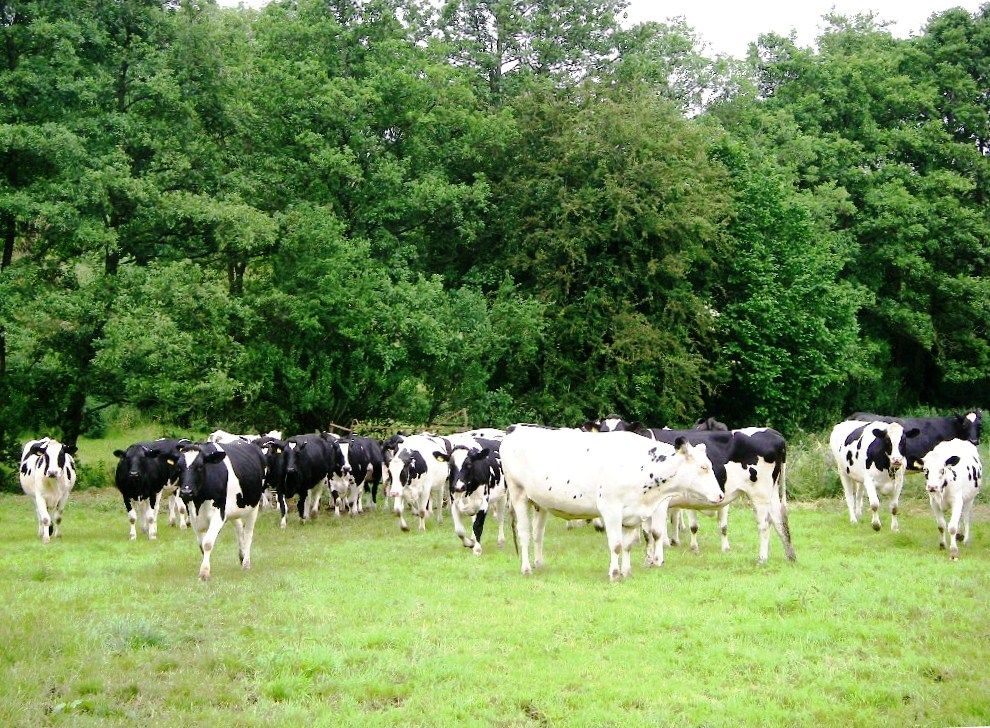
Entering a field of cows, I took a picture of the cause of our problems. They took a dim view of this and advanced on us menacingly. I was very brave, waving my arms and making a lot of noise which gave us time to reach the gate. Pausing to compose ourselves, Rosalind realised she had lost her stick which had been attached to her rucksack. She thought it must have got caught up in an overhanging bramble. There was no question of us going back to look for it.
Again, we forsook the official route, a winding, wet-looking path alongside Cam Brook, taking to the lanes for the last mile to Combe Hay. Here at the Wheatsheaf we had a delicious bowl of soup with rolls and a cup of good coffee. We had walked a hundred miles over quite difficult terrain and felt a sense of achievement.
There was one last hill to tackle before our journey’s end. Reaching the top, we made use of some undergrowth to change into clean trousers and scrape the worst of the mud off our boots before taking the Park and Ride bus into Bath. I caught my train, but Rosalind just missed hers and had to wait another hour before she could head for home.
Rosalind’s niece, Sally, died at 6 am the following morning.
The next leg of our walk continued along the Limestone Link and joined up with the Cotswold Way. This is Rosalind’s home territory as she lives in Wotton-under-Edge, so we used her home as a base and covered the ground on local excursions, often as a warm-up for a longer trek. Some of the sections are in the reverse direction.